The Monkey Matters Blog
Subscribe
Blogroll
-
Recent Posts
Archives
- February 2017 (1)
- July 2015 (1)
- April 2015 (1)
- December 2013 (1)
- September 2013 (1)
- August 2013 (1)
- July 2013 (1)
- June 2013 (1)
- May 2013 (1)
- January 2013 (4)
- December 2012 (6)
- May 2011 (2)
- January 2011 (2)
- December 2010 (1)
- August 2010 (1)
- June 2010 (3)
- May 2010 (4)
- April 2010 (1)
- March 2010 (1)
Category Archives: Maps
Mapmaking resources
As I’ve hinted in the past (e.g., here and here), I really love a good map. Lately, a few colleagues have approached me for help with mapmaking. Despite each person’s focus on a different region or topic, I’ve found that … Continue reading
Baboon distributions (and a lesson in African geography)
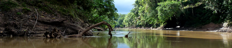
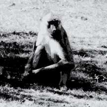
Previously, I played around with SVG and JavaScript in order to create interactive maps of Central American primates. As a followup, I thought I’d try my hand at mapping baboons, given that they are the critters I am currently working … Continue reading
Posted in Baboons, Maps, Primates
Tagged Africa, Arabia, distributions, JavaScript, Papio, SVG
2 Comments
Central American primate distributions
I was recently cleaning out files on my computer when I stumbled across some maps that I had created two years ago for a class presentation. These maps show the species distributions for all Central American primates, and they are … Continue reading
AAPA cities
The annual meeting of the American Association of Physical Anthropologists (AAPA) takes place in Knoxville, Tennessee in 2013. After checking the website, I saw that the AAPA keeps a list of past meeting locations, among other things. How often have the … Continue reading
 RSS
RSS